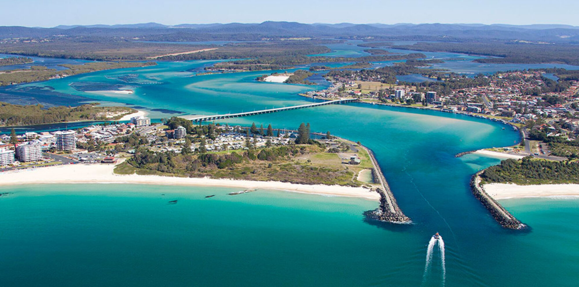
The terms terrain and landscapes are often used interchangeably. However the differences are important, especially when gaining a better understanding of nature.
Terrain can be defined best as describing the physical features of the land. This is usually expressed in terms of the elevation, slope, and orientation of features of the physical environment. Terrain affects surface water flow and distribution. Over a large area, it can affect weather and climate patterns. The different terrain types can be represented on maps using topographic maps, which can be essential for planning any outdoor recreation activity. To learn more about the different roles maps can play, click here.

Landscapes are the visible features of an area, including natural and human-made elements such as mountains, rivers, forests, cities, and roads. There are several types of landscapes, including natural, cultural, and urban landscapes. Natural landscapes are the physical features that occur naturally, such as mountains, rivers, and forests. Cultural landscapes are the result of human activities, including agriculture, urbanisation, and industrialisation. Urban landscapes refer to the built environment, including buildings, roads, and parks, in cities and towns.
